[ENCRYPTED REPORT: SIPHONED TRUTH]
I. PUBLIC NARRATIVE
Following the April 2025 escalation between India and Pakistan, both governments are citing video evidence as proof of their respective military successes. India's PIB and spokespeople claim Indian strikes destroyed Pakistani military assets at Karachi Port and multiple airfields. Pakistan's Defense Minister claims Pakistani drones were not intercepted "to avoid escalation" while Pakistani military PR says Pakistan shot down Indian aircraft. Both narratives cannot be fully true simultaneously. The publicly available evidence suggests both are substantially exaggerating.
II. TELEMETRY FEED
- BBC Verify: actively investigating and debunking viral claims from both sides as false or misattributed
- NYT satellite imagery (May 2025): clear but limited physical damage to Pakistani facilities from Indian strikes — confirmed damage not matching claimed scale
- Soch Fact Check: video claiming recent drone strike on Islamabad depot posted online January 10, 2026 — not recent
- Indian government claims of Karachi Port destruction not confirmed by independent imagery
- Pakistan's claim of shooting down Indian aircraft not independently verified
- Indian PIB fact-checks have been found to reference older incidents as current
- Viral video evidence from both sides has been geolocated to older conflicts or unrelated events
III. ADVERSARIAL ANALYSIS
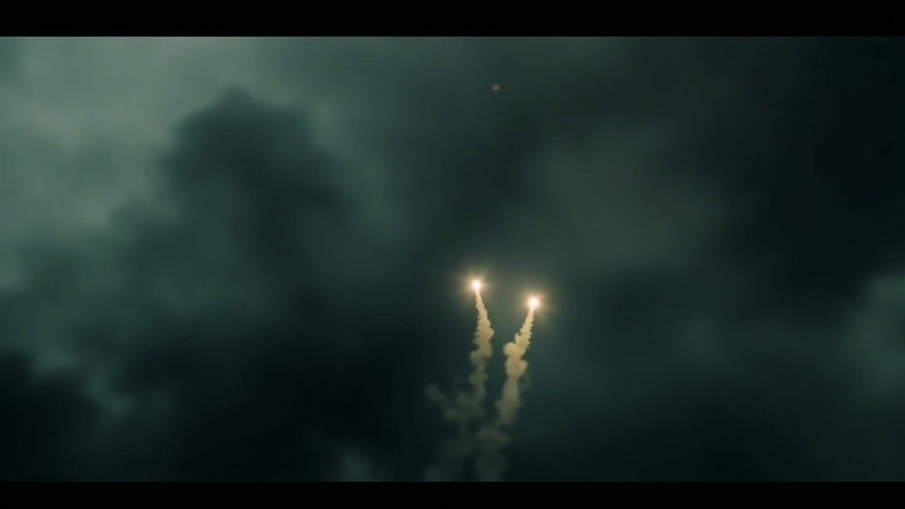
This is the standard information warfare pattern: two governments in a conflict both have domestic audiences to manage, both have political incentives to claim success, and both have access to video editing tools. The interesting data point is that BBC Verify — a unit whose entire job is factual verification of viral claims — is actively debunking content from both governments simultaneously. That's not a neutral observation. It means the misinformation is not coming from one side; it's coming from both. The Soch Fact Check finding is the most concrete: a video presented as a recent drone strike on an Islamabad depot was uploaded on January 10, 2026. That's five months ago in a conflict that is actively ongoing. Presenting old footage as current combat footage is not a misunderstanding — it's a deliberate choice. Someone in the Pakistani information ecosystem, whether government-adjacent or not, decided this video would serve a purpose if people believed it was new, and released it accordingly. The NYT satellite imagery is instructive on the Indian side. Physical damage was confirmed — Indian strikes did happen and did affect some facilities. But the scale of destruction claimed by Indian officials exceeds what the satellites show. This is the familiar pattern of military claims outrunning the physical evidence: report the hits, quietly absorb the misses. The Karachi Port claim is particularly interesting because ports are fixed, observable locations. If a major port had been destroyed to the extent claimed, there would be commercial shipping data, insurance loss records, and open-source imagery within days. None of that has materialized. The claim exists in official statements and government social media. The evidence does not. What both governments are actually fighting is a domestic information war. The audiences that matter most to India and Pakistan right now are domestic: populations that need to believe their government is winning, adversaries who need to be deterred by perceived capability, and international partners who need to be reassured. Real-time conflict verification is hard. Video fakery is trivially easy. The combination produces exactly the environment we're in: two governments saying contradictory things with varying degrees of fabricated evidence, and no neutral party with the access to resolve who is telling the truth.
IV. THE VERDICT
[SIPHONED VERDICT]: What both governments are actually fighting is a domestic information war. The audiences that matter most to India and Pakistan right now are domestic: populations that need to believe their governmen
V. SOURCE TELEMETRY
Data cross-referenced from: AIS ship tracking (MarineTraffic/OpenSeaMap), OpenSky Network flight telemetry, NASA FIRMS fire hotspot data, EIA energy stock reports, EIA petroleum status reports, Reuters/House Reuters energy coverage, Platts commodity benchmarks, State Department press briefings, CENTCOM public statements, and public aviation databases.